Solutions
Home>solutions
Multi-Scenario Application
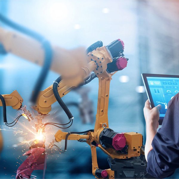
Industrial Automation
Description: Laser distance sensors play a crucial role in industrial automation by enhancing production efficiency and ensuring precise positioning. These sensors are used for accurate distance measurement in various automated processes, such as robotic arm positioning, material handling, and quality inspection. Their ability to deliver millimeter-level precision helps in reducing errors and optimizing workflow in manufacturing environments.
Case Study: Highlight a specific factory where laser distance sensors were implemented to automate a production line. For example, sensors were used to precisely position components on an assembly line, resulting in a 20% increase in production speed and a significant reduction in manual intervention.

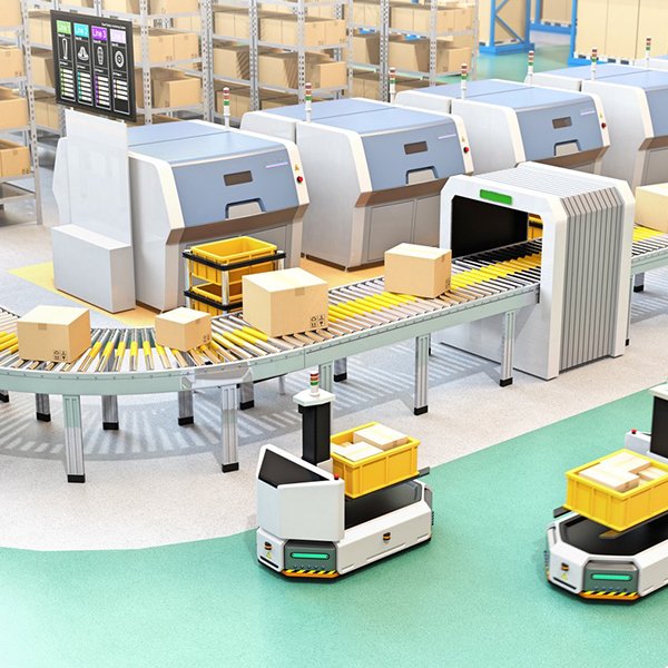
Logistics and Warehousing
Description: In logistics and warehousing, laser distance sensors are essential for efficient inventory management, accurate goods detection, and sorting. They help optimize the storage space by precisely measuring the dimensions of packages and monitoring the position of goods on conveyor belts. These sensors reduce human error, streamline operations, and increase throughput in distribution centers.
Case Study: Present an example where a logistics company integrated laser distance sensors into their warehouse management system. The sensors were used to automate the detection and sorting of packages, which led to a 30% improvement in space utilization and a reduction in sorting errors by 25%.

Construction and Engineering
Description: In the construction and engineering sectors, laser distance sensors are widely used for tasks such as bridge monitoring, structural health assessment, and land surveying. These sensors provide accurate distance measurements, enabling engineers to monitor structural integrity, conduct precise site measurements, and ensure safety in construction projects.
Case Study: Provide a detailed case where laser distance sensors were used in a large infrastructure project, such as monitoring the deformation of a bridge over time. The sensors delivered real-time data, allowing engineers to make informed decisions and maintain the safety of the structure.

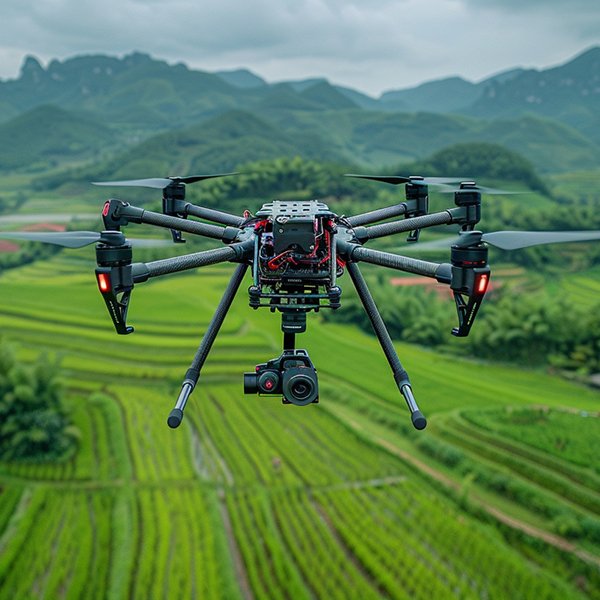
Drones and Surveying
Description: Laser distance sensors are increasingly utilized in drone-based applications for aerial surveying and mapping. These sensors enable drones to capture detailed topographical data, especially in complex terrains or hazardous areas where traditional surveying methods are challenging. The high-precision measurements from these sensors are critical for creating accurate 3D models and conducting environmental assessments.
Description: Laser distance sensors are increasingly utilized in drone-based applications for aerial surveying and mapping. These sensors enable drones to capture detailed topographical data, especially in complex terrains or hazardous areas where traditional surveying methods are challenging. The high-precision measurements from these sensors are critical for creating accurate 3D models and conducting environmental assessments.

